Understanding the heatwave. Why we’re seeing heat locked in
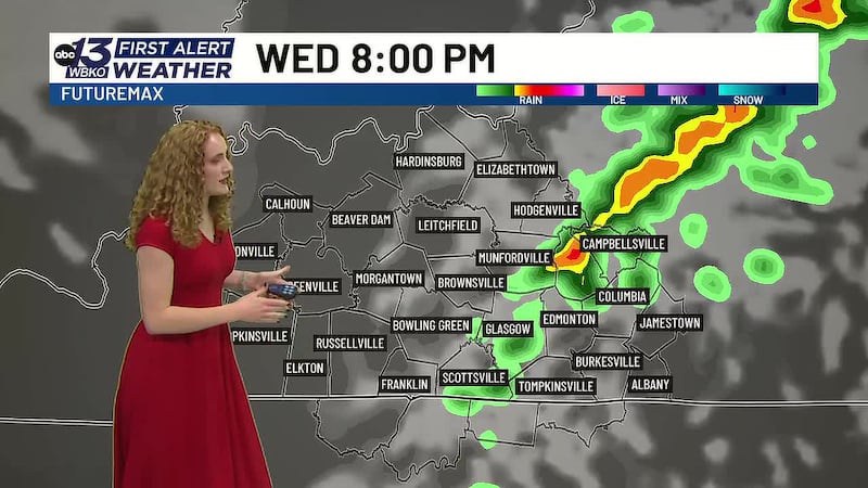
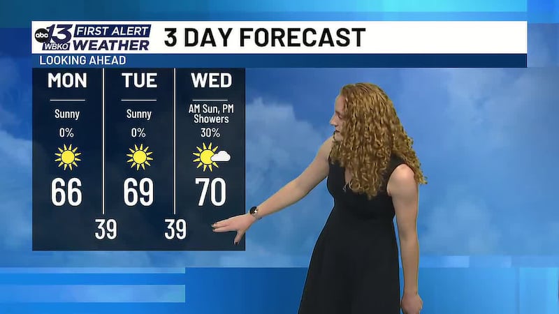
BOWLING GREEN, Ky. (WBKO) - We’re in the middle of a significant heatwave right now, and temperatures are climbing into the upper 90s with some locations possibly reaching triple digits by Wednesday or Thursday. But what’s causing this intense heat to stick around? Here’s what’s happening in our atmosphere.
The Cause: A Ridge of High Pressure
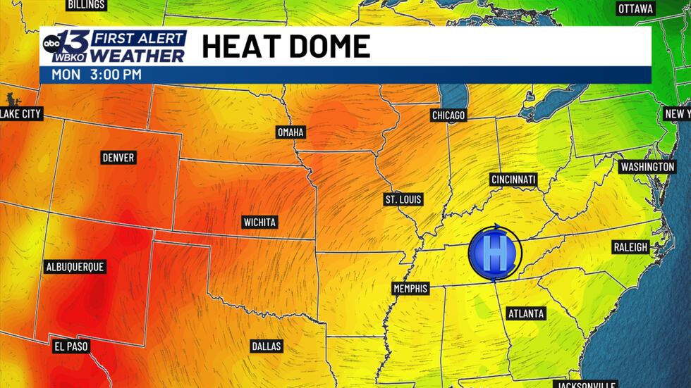
Right now, a large ridge of high pressure is sitting directly over the Ohio Valley—that’s us. Think of a ridge like a mountain range of warm air in the atmosphere. When you have that ridge in place, it acts like a lid on a pot. It keeps everything calm, dry, and hot underneath it.
We’re also getting strong winds flowing from the south and southwest, and here’s the key: those winds are bringing us what meteorologists call a continental tropical air mass. In plain English? That means hot, dry air that’s been baking over the southern plains and is now flowing right into Kentucky.
Visualizing the Atmosphere: The River Analogy
Imagine the atmosphere like a river. When you have rapids and fast-moving water, that’s like cooler air masses moving through—they bring active weather and changes. But right now, we’re in the calm, slow-moving part of that river. That calm water? It’s warm, it’s stagnant, and it’s not going anywhere fast.
That’s exactly what we’re experiencing. Our air is stuck, it’s hot, and it’s going to stay that way for several days.
What’s Coming: The Forecast
Our computer models are showing this ridge staying strong over the next couple of days. That means we’re looking at mainly dry conditions and temperatures climbing into the upper 90s. Some of you in spots around Bowling Green could even see triple digits by Wednesday or Thursday.
The Double Threat: Heat + Drought
Now, here’s what makes this even more intense: we’ve already been dry for the past two weeks. That lack of rain means the ground is parched, plants are stressed, and there’s no moisture in the air to help cool things down naturally.
When you combine a heatwave with drought conditions, it creates a double threat—not just to our comfort, but to our health and to our landscape. Plants are wilting, grass is browning, and the stress on our environment is real.
What You Need to Do Right Now
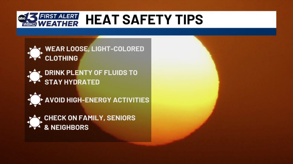
Here’s what we need you to do to stay safe:
- Stay Hydrated
- Drink water throughout the day, even if you don’t feel thirsty. Dehydration sneaks up on you in this heat.
- Limit Outdoor Activity
- Especially during the peak heat hours in the afternoon. If you can wait until early morning or evening to be outside, do it.
- Take Frequent Breaks
- If you do have to be outside, take frequent breaks in the shade or indoors. Give your body a chance to cool down.
- Know the Signs of Heat Illness
- If you or someone near you starts feeling dizzy, nauseous, confused, or stops sweating in this heat, that’s a medical emergency. Call 911.
- Check on Your Neighbors
- Especially the elderly and anyone without air conditioning. They’re at higher risk in this heat.
- Don’t Forget Your Pets
- Your pets are suffering in this heat just as much as we are. Make sure they have plenty of water, shade, and limit their outdoor time.
Stay With Us for Updates
We’ll continue to monitor this heat and bring you updates as conditions change. Stay with us for the latest on when this heat dome finally moves out and what relief might be on the way.
DOWNLOAD the WBKO First Alert Weather App for the latest on the forecast. Our app is easy to use and free to download!
Click one of the following links to download the app:
Copyright 2026 WBKO. All rights reserved.