Cloud Exploration: Learning about cirrus clouds
BOWLING GREEN, Ky. (WBKO) - We are climbing as high as we can go in the troposphere for part 3 of our cloud series: Cirrus clouds!
Typically forming upwards of 20,000 feet, these delicate, wispy streaks look like paint brush strokes across the sky. Because it is so freezing at these high altitudes, cirrus clouds are made entirely of ice crystals instead of liquid water.
A fun feature of these ice crystals is their ability to act as tiny, floating prisms. When sunlight strikes them at just the right angle, they refract the light, producing stunning halos, sundogs, and vibrant optical effects around the sun.
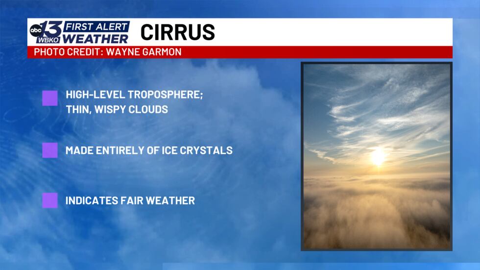
While scattered cirrus clouds usually indicate fair weather, they can also act as the sky’s early warning system. If you notice them beginning to thicken and cover the sky, it often signals that a warm front and wet weather are on the way.
We want to see the clouds in your neighborhood! Submit your cloud photos to us at www.wbko.com/photos!

Copyright 2026 WBKO. All rights reserved.