How hail forms: A deep dive into storm development
BOWLING GREEN, Ky. (WBKO) - When a hailstone falls from the sky, it’s the result of a complex atmospheric dance. Understanding how hail develops reveals just how specific the conditions need to be.
THE THREE INGREDIENTS HAIL ABSOLUTELY NEEDS
Before a single hailstone can form, the atmosphere must have three critical components working together:
1. Sufficient low-level moisture
The foundation of any hail storm is moisture. Water vapor in the lower atmosphere provides the raw material that will eventually become hailstones. Without adequate moisture, there’s simply nothing for the storm to work with. This is why hail is more common in summer months when warm, moist air from the Gulf of Mexico or Atlantic Ocean flows into regions like the Midwest and South.
2. Steep lapse rates (temperature cooling with height)
As you climb higher into the atmosphere, temperature drops. The rate at which it drops is called the “lapse rate.” For hail to form, you need a steep lapse rate — meaning temperature drops rapidly as altitude increases. This steep temperature gradient creates instability in the atmosphere, essentially allowing air parcels to keep rising higher and higher into the storm cloud. Think of it like this: if the upper atmosphere is much colder than the lower atmosphere, warm air keeps wanting to rise, fueling the storm’s growth.
3. Strong lifting mechanisms in the lower and middle atmosphere
This is where meteorological jargon gets specific. The LCL (Lifting Condensation Level) is the altitude where air becomes saturated and clouds begin to form. The LFC (Level of Free Convection) is the altitude above which rising air will continue to rise on its own, without any external lifting. For hail development, you need strong lifting mechanisms that push air from the LCL all the way to the LFC and beyond. This is where the updraft comes in — and it’s the most critical ingredient of all.
How hailstones grow
Once these three ingredients are in place, hailstone formation can begin. But it’s not a simple process. It requires a specific environment high in the storm cloud where temperatures are well below freezing (around -40°F or colder).
The starting point: A nucleus
A hailstone doesn’t just appear out of nowhere. It needs something to grow on — a nucleus. This can be:
- An ice crystal already present in the cloud
- A water droplet that has frozen
- A tiny dust particle suspended in the atmosphere
Once this nucleus exists, it becomes the foundation for everything that follows.
The growth process: three different types
As the hailstone rises and falls within the storm’s updraft, it collides with countless water droplets and ice crystals. How these collisions happen determines what type of hailstone develops:
Dry Growth
In dry growth, the hailstone encounters supercooled water droplets (water that’s below freezing but hasn’t turned to ice yet) or ice crystals in an environment that’s extremely cold and relatively dry. When these droplets and crystals contact the hailstone, they immediately freeze and stick to it — almost like instant adhesion. The result is a hard, dense hailstone with a clear appearance. Dry growth hailstones tend to be smaller and denser because the freezing happens so quickly that there’s no time for air pockets to form.
Wet Growth
Wet growth occurs when the hailstone encounters water droplets in a warmer part of the cloud (still below freezing, but not as cold as the dry growth zone). As the hailstone collides with these droplets, the impact causes friction and heating. This heating causes some of the ice on the hailstone’s surface to melt slightly. The water then refreezes, but because it melted first, it creates a smoother, wetter appearance. Wet growth hailstones are typically larger and heavier because the melting and refreezing process allows more material to accumulate. These are the hailstones most likely to cause significant damage because of their size and weight.
Spongy Growth
Spongy growth is similar to wet growth, but with a crucial difference: the water droplets don’t quite melt completely. Instead, they freeze onto the hailstone while retaining their liquid water content. This creates air bubbles and pockets throughout the hailstone’s structure, giving it a spongy, porous appearance. Spongy hailstones are often white or opaque rather than clear, and they’re more fragile than hailstones formed through dry or wet growth. Despite being more fragile, they can still reach impressive sizes.
The key to growth: The updraft
All three growth types depend on one critical factor: a powerful updraft that keeps the hailstone suspended in the freezing zone long enough to accumulate layers. Without a strong updraft, the hailstone falls out of the cloud before it can grow large enough to reach the ground as hail. This is why hail is so closely tied to supercell thunderstorms — they’re the only storms with updrafts powerful enough to support significant hail growth.
Our forecast: Why we aren’t expecting hail
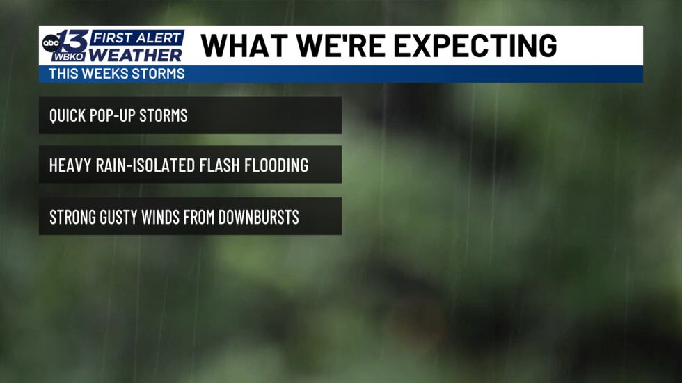
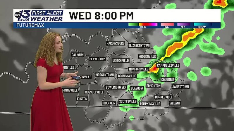
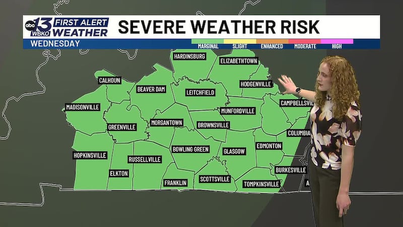
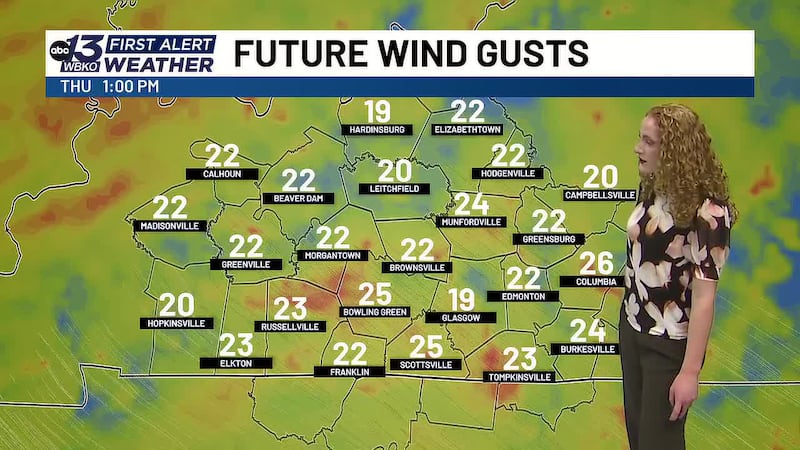
This week’s forecast for Bowling Green, Kentucky, illustrates these concepts perfectly. We have moisture and steep lapse rates, but not enough vertical rising motion to allow hail to develop.
Instead, what we’ll see are brief, heavy rain events with strong downdraft winds — the result of moisture and instability without organization. The heavy rain and potential for flooding are real concerns. Hail is not.
THE BOTTOM LINE
Hail is nature’s reminder that thunderstorms are complex systems requiring very specific atmospheric ingredients. It’s not enough to have moisture and instability. You need the right wind shear to organize the storm, create powerful updrafts, and allow hailstones to grow. Understanding these requirements helps us as meteorologists predict not just whether hail will occur, but where and when it’s most likely.
DOWNLOAD the WBKO First Alert Weather App for the latest on the forecast. Our app is easy to use and free to download!
Click one of the following links to download the app:
Copyright 2026 WBKO. All rights reserved.