Fall temperature outlook: Warmer than average ahead for Bowling Green
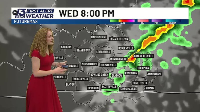
BOWLING GREEN, Ky. (WBKO) - Fall has officially arrived, and while we’ve enjoyed a cooler start to the season, climate experts are forecasting a warmer-than-average fall ahead for Bowling Green and the surrounding region.
What the Experts Are Saying
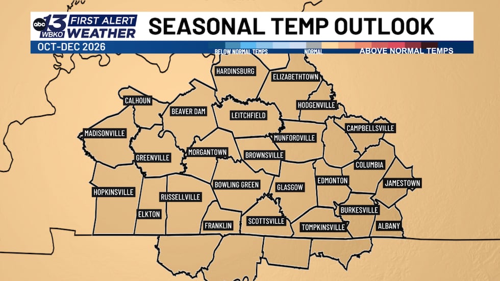
The Climate Prediction Center (CPC) is projecting above-average temperatures through the first week of October, with their extended outlook for October through December leaning warmer than normal. This departure from typical fall conditions is being driven by El Niño — a weather pattern that is expected to bring more high-pressure systems into our region.
When high-pressure systems settle over an area, they trap warmer air in place. That means we’ll feel temperatures pushing above what we typically experience this time of year.
What “Above Average” Means for You
To understand what this warmer pattern means for daily life in Bowling Green, it helps to know what normal fall temperatures look like:
September: Highs typically reach around in the low 80s degrees with lows near 60 degrees. We’ve been well above average this month
October: Highs settle in the mid to low 70s (averaging 72 degrees), with lows dropping to the upper 40s.
November: Highs average around in the upper 50s to low 60s, with lows near in the mid to low 40s.
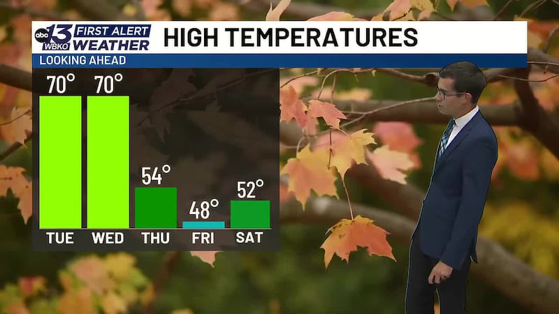
With this warmer-than-average pattern taking hold, expect temperatures to run several degrees above these averages — especially as we transition from October into November. This means you’ll likely hold onto warmth longer than usual, and the typical fall chill may arrive later than normal.
What This Means for Your Fall Plans
The warmer outlook has real implications for how you prepare for the season:
- Don’t break out the heavy sweaters and jackets just yet. While we’re enjoying this cooler start to September, warmer weeks are still ahead.
- Plan outdoor activities accordingly. With above-average temperatures expected, outdoor events and activities may feel more like early fall than mid-to-late fall.
- Monitor heating needs. If you rely on heating systems, you may not need to turn them on as early as in previous years.
- Stay hydrated. Warmer temperatures mean continued heat stress, even as we move deeper into the season.
The Pattern Ahead
The CPC data shows that this warmer-than-average trend is expected to persist through at least the first week of October, with the broader October-December period still favoring above-average temperatures. The high-pressure systems associated with El Niño will be key to maintaining this pattern.
However, weather patterns can shift. That’s why it’s important to stay updated with the First Alert Weather team as we head deeper into fall. We’ll continue to monitor any changes to this outlook and keep you informed every step of the way.
DOWNLOAD the WBKO First Alert Weather App for the latest on the forecast. Our app is easy to use and free to download!
Click one of the following links to download the app:

Copyright 2026 WBKO. All rights reserved.