What are stratus clouds? A look at the lowest layer of our cloud series
What This Story Is About
- We are heading back to the foundation of our cloud height chart to explore the lowest layer in the troposphere: stratus clouds.
Why It Matters
- Derived from the Latin word for “layer” or “sheet,” stratus clouds are easily identified by their uniform, featureless gray appearance.
For Context
- This is part five of WBKO’s cloud explainer series.
BOWLING GREEN, Ky. (WBKO) - When the sky turns a uniform gray and temperatures stay cool all day, stratus clouds are often the reason.
Part five of our cloud series looks at the lowest layer of the troposphere.
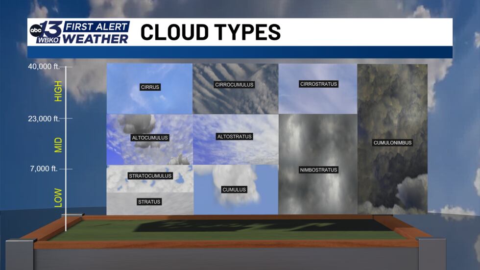
The lowest layer of the troposphere brings gray skies and cooler temperatures
Derived from the Latin word for “layer” or “sheet,” stratus clouds are easily identified by their uniform, featureless gray appearance.
How stratus clouds form
Unlike cumulus clouds, which are driven by buoyant, bubbling vertical updrafts, stratus clouds develop horizontally in stable atmospheric conditions. They typically form through advection or radiative cooling, occurring when a gentle flow of cool, moisture-laden air glides over colder land. As this air mass cools to its saturation point—the dew point—water vapor condenses into an expansive, low-hanging cloud deck that can sit just a few hundred feet above the ground. In fact, when a stratus cloud rests directly on the earth’s surface, we simply call it fog.
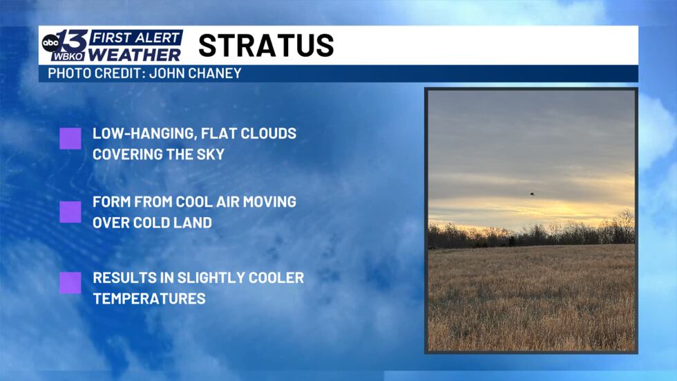
Effect on temperatures
Beyond setting a somber, overcast mood, stratus clouds play a dramatic role in our daily microclimate. Because of their continuous, opaque coverage and high cloud albedo, they reflect a significant portion of incoming solar radiation back into space. This dense barrier prevents the sun from warming the surface, often leading to a substantial delay in our usual afternoon heating. On days when stratus clouds refuse to break up, surface temperatures can remain noticeably suppressed and chilly from sunrise to sunset.
Precipitation from stratus clouds
While they lack the violent dynamics needed to spark thunderstorms or heavy downpours, they frequently produce light mist, persistent drizzle, or flurry-like snow during the colder months.
We want to see the clouds in your neighborhood! Submit your cloud photos to us at www.wbko.com/photos!
DOWNLOAD the WBKO First Alert Weather App for the latest on the forecast. Our app is easy to use and free to download!
Click one of the following links to download the app:
Cloud Series

Copyright 2026 WBKO. All rights reserved.